
0
Owner's of the Garmin GPS Receiver Garmin GPS Receiver gave it a score of 0 out of 5. Here's how the scores stacked up:
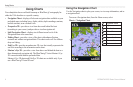
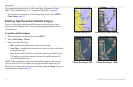
Using Charts
GPSMAP 400/500 Series Owner’s Manual 15
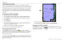
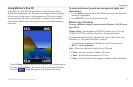
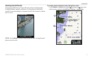
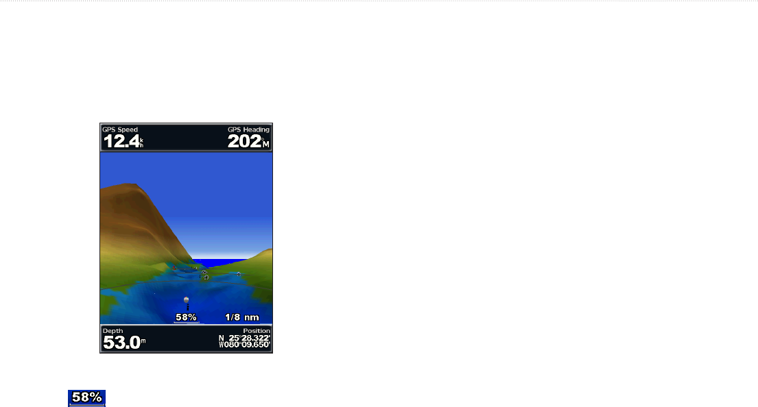
A BlueChart g2 Vision SD card offers Mariner’s Eye 3D that provides a
detailed three-dimensional view from above and behind the boat (according
to your course), and provides a visual navigation aid. This view is helpful
when navigating tricky shoals, reefs, bridges, or channels, and is benecial
when trying to identify entry routes and exit routes in unfamiliar harbors or
anchorages.
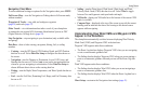
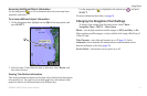
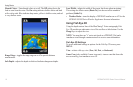
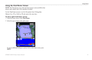
Press the key to move the view closer to your boat and lower to
the water. Press the key to move the view away from the boat.
The scale ( ) temporarily appears at the bottom of the screen.
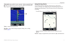
1. Use the to point to the navaid. When the cursor is over the navaid,
the navaid is highlighted.
2. Press to view details about the navaid.
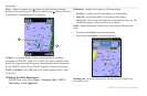
—turn the display of NEXRAD weather on or off. See the
GPSMAP 400/500 Series Weather Supplement for more information.
For settings and options related to Waypoints & Tracks, Other Vessels, and
Data Bars, see “Navigation Chart Menu” on page 9.
To customize the appearance of the Mariner’s Eye 3D screen, select
> .
—Selects how chart data is displayed over 3D terrain.
• —uses color schemes to indicate 3D terrain.
• —provides chart information in a 3D view.
• —provides satellite photo imagery in addition to chart information.


Find Your Products By Category
- Photography
- Video Game
- Computer Equipment
- TV and Video
- Communications
- Automotive
- Portable Media
- Marine Equipment
- Cell Phone
- Baby
- Home Audio
- Fitness & Sports
- Power Tools
- Household Appliance
- Car Audio and Video
- Personal Care
- Kitchen Appliance
- Lawn and Garden
- Musical Instruments & Equipment
- Laundry Appliance
- Outdoor Cooking
Please Login
