
0
Owner's of the Garmin GPS Receiver Garmin GPS Receiver gave it a score of 0 out of 5. Here's how the scores stacked up:
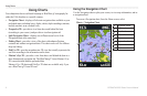
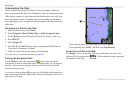
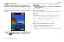
Using Charts
GPSMAP 400/500 Series Owner’s Manual 11
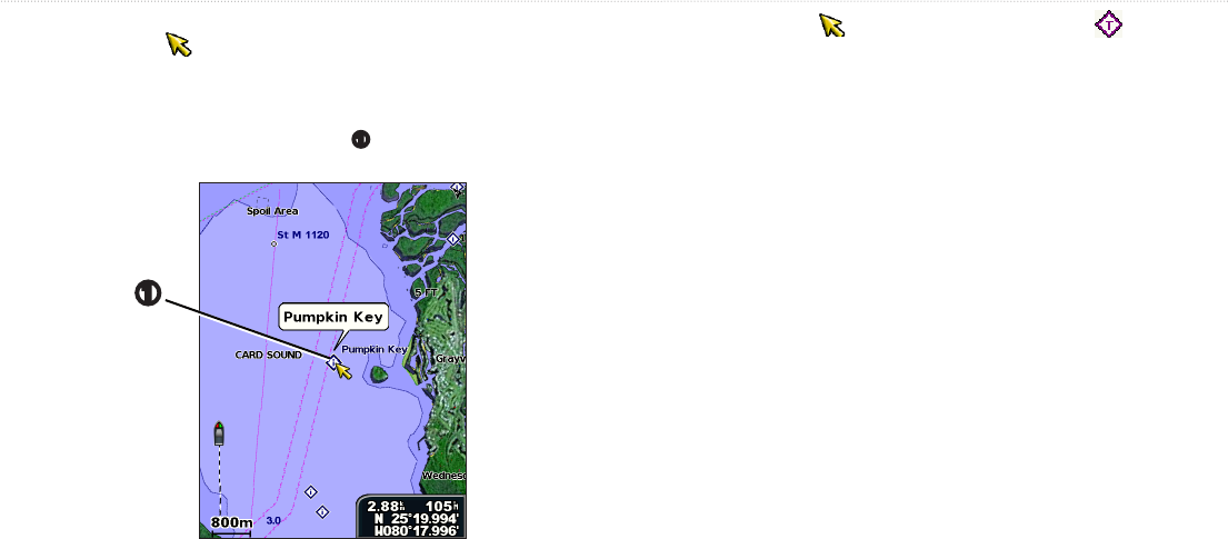
Use the map pointer ( ) to view information about on-screen map items,
waypoints, and charts.
1. On the Navigation chart, highlight an item
➊
with the map pointer, and
press .
➊
2. Select the item. If more than one item is in the area, select , and
then select the item.
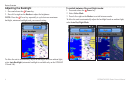
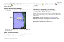
Tide-station information appears on the chart with a detailed icon showing the
relevant tide level. You can view an in-depth graph for a tide station to help
predict the tide level at different times or on different days.
Use the map pointer (
) to highlight a tide-station icon ( ), and press
.
For more information about tides, see page 36.
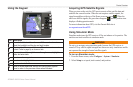
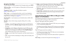
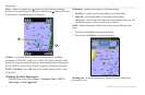
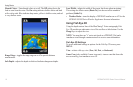
To change chart settings from the home screen, select >
> > .
—sets the high-resolution satellite images to , , or .
High-resolution satellite imagery is only available while using a BlueChart g2
Vision SD card.
—turns tides and currents on or off (page 36). Select
to show animated tide station indicators and animated current
direction indicators on the chart (page 20).
—turns marine service points on or off.


Find Your Products By Category
- Photography
- Video Game
- Computer Equipment
- TV and Video
- Communications
- Automotive
- Portable Media
- Marine Equipment
- Cell Phone
- Baby
- Home Audio
- Fitness & Sports
- Power Tools
- Household Appliance
- Car Audio and Video
- Personal Care
- Kitchen Appliance
- Lawn and Garden
- Musical Instruments & Equipment
- Laundry Appliance
- Outdoor Cooking
Please Login
