
0
Owner's of the Garmin GPS Receiver Garmin GPS Receiver gave it a score of 0 out of 5. Here's how the scores stacked up:
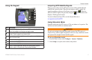
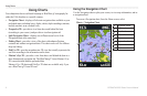
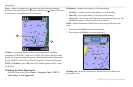
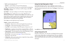
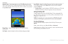
Using Charts
GPSMAP 400/500 Series Owner’s Manual 13
• —turns the heading line off.
• —sets the distance to the end of the heading line.
• —sets the amount of time until you reach the end of the heading line.
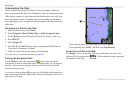
—displays a basic world map or satellite imagery (when
is selected).
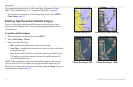
—turns spot soundings on or off, and sets a dangerous depth.
(only available when you are using a BlueChart g2 or
BlueChart g2 Vision card)—identies a selected depth. Areas on the chart with
depths shallower than the specied value are shaded in blue, while areas with
depths greater than the specied value are shaded in white. The contour is
always drawn at, or deeper than, the selected depth.
Select to use the depth from the g2 Vision chart.
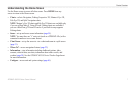
—changes symbol preferences.
• —adjusts the size of the navaid symbols shown on the map.
• —selects the navaid symbol set (NOAA or IALA).
• —turns the display of land POIs (points of interest) on or off
• —turns the sector in which a navigational light is visible on
or off. Selecting lters out light sectors, depending on the zoom level.
• —turns chart borders on when using a BlueChart g2 Vision
SD card and you want to see what area the maps cover.
• —turns camera icons (page 19) on or off when using a
BlueChart g2 Vision SD card.
• —allows you to select a boat or triangle that is large, medium,
or small as your boat icon on the chart.
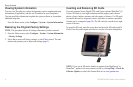
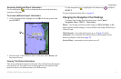
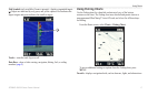
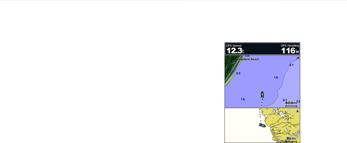
Use the Split Navigation chart to view two different zoom levels of the
Navigation chart at the same time. The top half of the screen is zoomed in 10
times closer than the bottom half of the screen. The keys control
the zoom level.
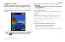
Press to view additional settings (page 9).
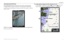
Perspective 3D provides a view from above and behind the boat (according
to your course), and provides a visual navigation aid. This view is helpful
when navigating tricky shoals, reefs, bridges, or channels, and is benecial
when trying to identify entry routes and exit routes in unfamiliar harbors or
anchorages.


Find Your Products By Category
- Photography
- Video Game
- Computer Equipment
- TV and Video
- Communications
- Automotive
- Portable Media
- Marine Equipment
- Cell Phone
- Baby
- Home Audio
- Fitness & Sports
- Power Tools
- Household Appliance
- Car Audio and Video
- Personal Care
- Kitchen Appliance
- Lawn and Garden
- Musical Instruments & Equipment
- Laundry Appliance
- Outdoor Cooking
Please Login
