

0
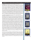
Owner's of the Bushnell GPS Receiver Onix gave it a score of 0 out of 5. Here's how the scores stacked up:
23
USING YOUR ONIX400 GPS RECEIVER : The My Stuff Menu
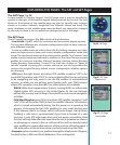
“Add Fence Post”. If you continue to set additional points, you will see more
options appear in the Measuring menu
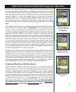
(Fig. 43)
. You can clear all ruler guides
and start over, or select “Close Region” to turn three or more points into a
Map Area and measure its area in square yards or miles. The regions created
by your rulers can be saved as Routes or Map Areas. Open regions are saved
as routes and closed regions are saved as Map Areas. They will be stored
in My Routes and My Map Areas. A “Measuring Info Box” is automatically
displayed when drawing rulers, displaying relevant data: Distance to Cursor,
Total Length, Last Segment Length and Total Area.
• Update Data:
select this option and press the Right button to choose:
Update Now (updates weather information to the latest available),
Auto Update (let the ONIX update weather info automatically on a
regular basis) or Data Status (monitor the age of the displayed weather
data, reception status, XM satellite signal strength, etc).
• SafeTrack: select and press OK to enter SafeTrack mode, or to see the
SafeTrack options. See “SafeTrack™ Battery Conservation Mode” on the next
page for more details.
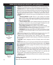
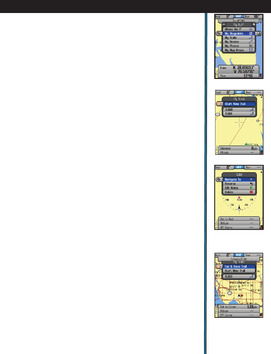
The My Stuff Menu
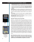
From the HOT Menu, press “+” or “-” to see the “My Stuff” menu (Fig. 44).
This menu lets you work with your personal waypoints, trails, map areas,
etc that you have already created. The “My Stuff” menu items are:
• Where Am I?: This item functions as already described in the HOT menu,
it’s simply available under “My Stuff” as well, for your convenience.
• My Waypoints: Press OK to see a list of all the waypoints you have marked.
Select one and press OK to edit, delete or navigate to the waypoint. Or,
press the Right key to view the waypoint on the base map (cursor moves
to the waypoint)
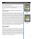
• My Trails: A trail is a path or course that been started (by moving) or
previously completed and saved by the user. Press OK or the RIGHT key.
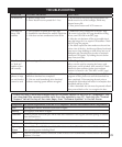
The options here are (Fig. 45):
Start New Trail: select this to begin a new trail, for example, from a
parking lot or other landmark to your camp.
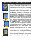
Trail List-your previous trails (if any) are listed below “Start New Trail”.
Highlight a trail name and press OK to see these 4 options (Fig.
46
):
Navigate To: navigate a saved trail. This starts navigation through a
previously completed trail.
Reverse-press OK to navigate the selected trail from its endpoint to
its start (very useful to “go back” to a point of origin)
Edit Name: option to rename a previously saved trail. Especially
useful if you saved a trail with the “default” name.
Delete: deletes a previously saved trail from memory.
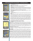
Fig 46.
My Trails-
Options After Selecting a
Saved Trail
Fig 47.
My Trails-
End & Save Trail
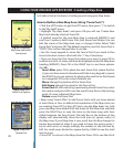
Fig 45.
My Trails Options
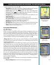
Fig 44.
My Stuff Menu


Find Your Products By Category
- Photography
- Video Game
- Computer Equipment
- TV and Video
- Communications
- Automotive
- Portable Media
- Marine Equipment
- Cell Phone
- Baby
- Home Audio
- Fitness & Sports
- Power Tools
- Household Appliance
- Car Audio and Video
- Personal Care
- Kitchen Appliance
- Lawn and Garden
- Musical Instruments & Equipment
- Laundry Appliance
- Outdoor Cooking
Please Login
