
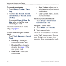
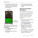
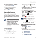
0
Owner's of the Garmin GPS Receiver Oregon gave it a score of 0 out of 5. Here's how the scores stacked up:

Oregon Series Owner’s Manual 17
Additional Tools
Additional Tools
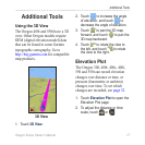
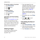
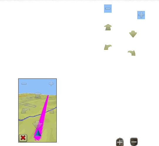
Using the 3D View
The Oregon 400t and 550t have a 3D
view. Other Oregon models require
DEM (digital elevation model) data
that can be found in some Garmin
topographic cartography. Go to
http://buy.garmin.com for compatible
map products.
3D View
1. Touch 3D View.
2. Touch
to increase the angle
of elevation, and touch to
decrease the angle of elevation.
3. Touch
to pan the 3D map
forward, and touch to pan the
3D map backward.
4. Touch
to rotate the view to
the left, and touch to rotate
the view to the right.
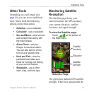
Elevation Plot
The Oregon 300, 400t, 400c, 400i,
550 and 550t can record elevation
changes over distance or time, or
pressure (barometric or ambient)
changes over time. To set which
changes are recorded, see page 32.
1. Touch Elevation Plot to open the
Elevation Plot page.
2. To adjust the distance or time
scale, touch or .


Find Your Products By Category
- Photography
- Video Game
- Computer Equipment
- TV and Video
- Communications
- Automotive
- Portable Media
- Marine Equipment
- Cell Phone
- Baby
- Home Audio
- Fitness & Sports
- Power Tools
- Household Appliance
- Car Audio and Video
- Personal Care
- Kitchen Appliance
- Lawn and Garden
- Musical Instruments & Equipment
- Laundry Appliance
- Outdoor Cooking
Please Login
